Map
Credit: en:Gerard van Schagen · Public domain
A map is a drawing of a place that shows where things are. Maps can show a small area, like a single park, or a huge area, like a whole country or the entire planet. They use lines, shapes, colors, and symbols to stand for real things on the ground. A road map shows roads. A weather map shows storms. A treasure map, in stories, shows where the gold is buried.
People have been making maps for thousands of years. Hunters in ancient times scratched simple maps onto cave walls and animal bones. Around 600 BCE, people in Babylon carved a map of their world onto a clay tablet. Ancient Greek thinkers tried to map the whole Earth, even though they had only seen a small part of it. A Greek scholar named Eratosthenes figured out that the Earth was round and even measured its size, more than 2,200 years ago.
Most maps shrink the real world down so it fits on paper. The amount of shrinking is called the scale. A map's scale might say that one inch on the paper stands for one mile on the ground. Maps also use a key, sometimes called a legend, to explain the symbols. A small tree shape might mean a forest. A blue line might mean a river.
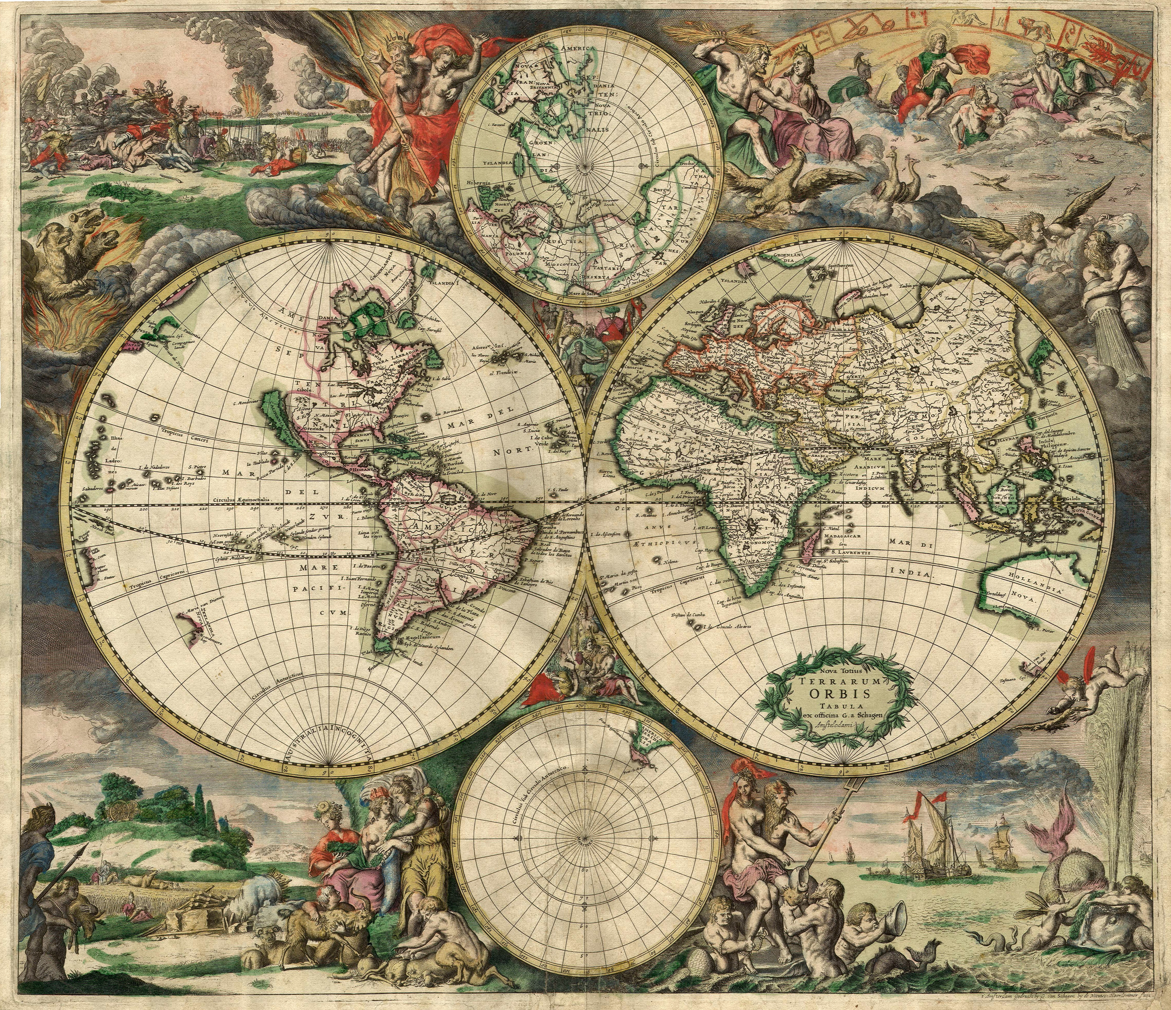
Making a flat map of a round Earth is harder than it sounds. Imagine peeling an orange and trying to press the peel flat. It tears and stretches. Mapmakers have the same problem. They use tricks called projections to flatten the globe, but every projection stretches something. The popular Mercator projection makes Greenland look almost as big as Africa. In real life, Africa is about 14 times larger.
Old maps were drawn by hand, often by sailors and explorers. During the Age of Exploration, mapmakers added new coastlines as ships brought back reports. Empty spots got filled in with sea monsters or warnings like "Here be dragons." Today, maps are made from photos taken by satellites high above the Earth. Computers stitch the photos together with great accuracy.
Most kids now meet maps through a phone. Apps like Google Maps use GPS satellites to track exactly where you are and draw a moving dot on the screen. The blue dot on the map is you, looking down at yourself from space.
Related
Last updated 2026-04-25